
CALGARY -- We're almost out of the first snow event, but this is an "out of the frying pan, into the fire" scenario only, you know, reversed.
Environment Canada's snowfall warning for Calgary and the surrounding area (Brooks/Strathmore/Vulcan, Airdrie/Cochrane/Olds/Sundre, K-Country/Canmore, and Okotoks/High River Claresholm) should wrap by lunchtime, with 10 to 15 centimetres marking the apex of snow development, and the majority of the region diving in at five to 10 centimetres.
As of 5 a.m, the Calgary International Airport was reporting in at six centimetres, and expectations put us at another two centimetres thereafter.
Breathe that momentary sigh of relief, especially Thursday, as a weakened ridge brings us temporarily back to seasonal tomorrow!
Except that tomorrow afternoon, we're right back at it with another stark outbreak of wintry weather taking the lead for a sustained period of frigid weather. This looks like an actual partition of the polar vortex breaking free and sliding even further south than our city. Our temperature trend reflects that, with the longest-range forecast I can observe projecting our warmest days moving ahead lingering at 0 C, if briefly. And that return to 0 C (factoring tomorrow's high also matching at 0) would be on the 16th.
Bottom line: that winter coat is going to get some wear over the next little while.
Back to snow. Tomorrow evening, we're back at it with snow, but the early look is that it's not going to be as voluminous as what we have just gone through. The models call for another five to 10 centimetres starting Thursday evening and running until Sunday morning. Here's the thing: it's a wave of snow capped against the Rockies with this polar air plunging through and creating a band of precipitation that will run parallel to the foothills. When that pattern develops, there is potential for higher values. We'll be monitoring this development closely, as our temperatures prepare to plunge.
Here's the five-day forecast:
Today:
- AM snow, PM scattered flurries
- Daytime high: -10 C
- Evening: mainly cloudy, low -15 C
Thursday:
- Mostly cloudy
- Daytime high: -0 C
- Evening: developing flurries, low -13 C
Friday:
- Snow showers
- Daytime high: -8 C
- Evening: ongoing snow showers, low -22 C
Saturday:
- Snow showers
- Daytime high: -19 C
- Evening: more snow showers, low -25 C
Sunday:
- AM snow showers
- Daytime high: -21 C
- Evening: mainly cloudy, low -23 C
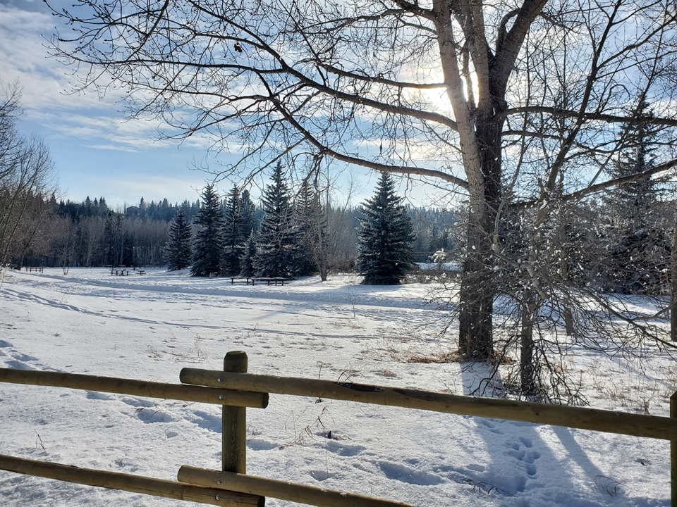
Two photos today, the first from "Cooke" (no other name given!) called "Winter Sun"
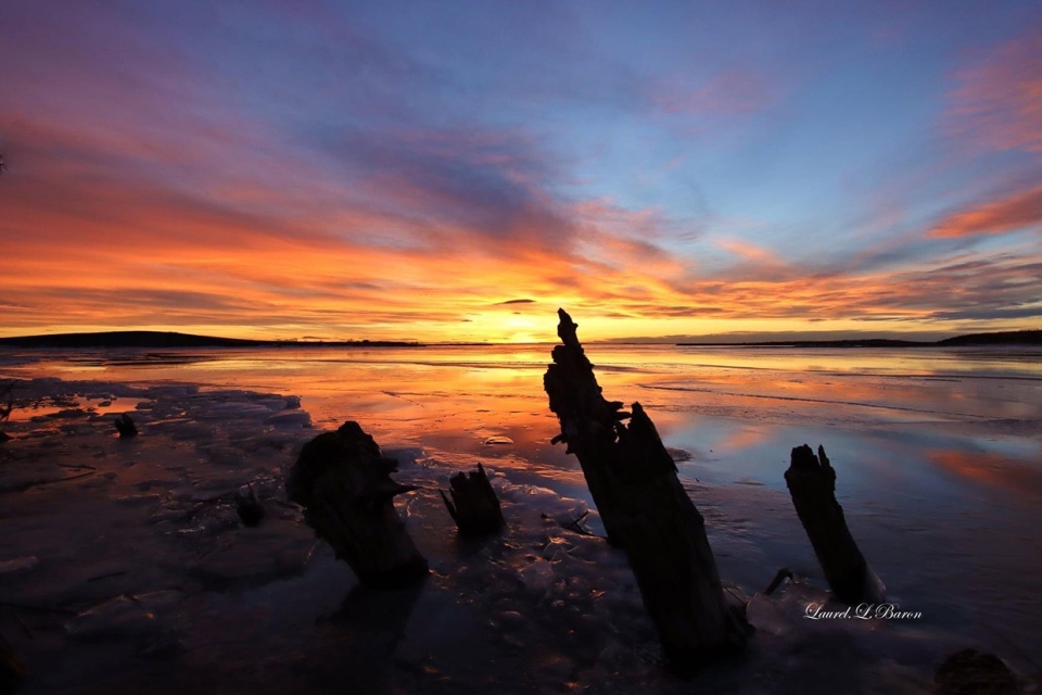
Then, on Lake Newell, Laurel sent this magnificent shot!
You can submit your weather photos here, or email me here! Kevin Stanfield


