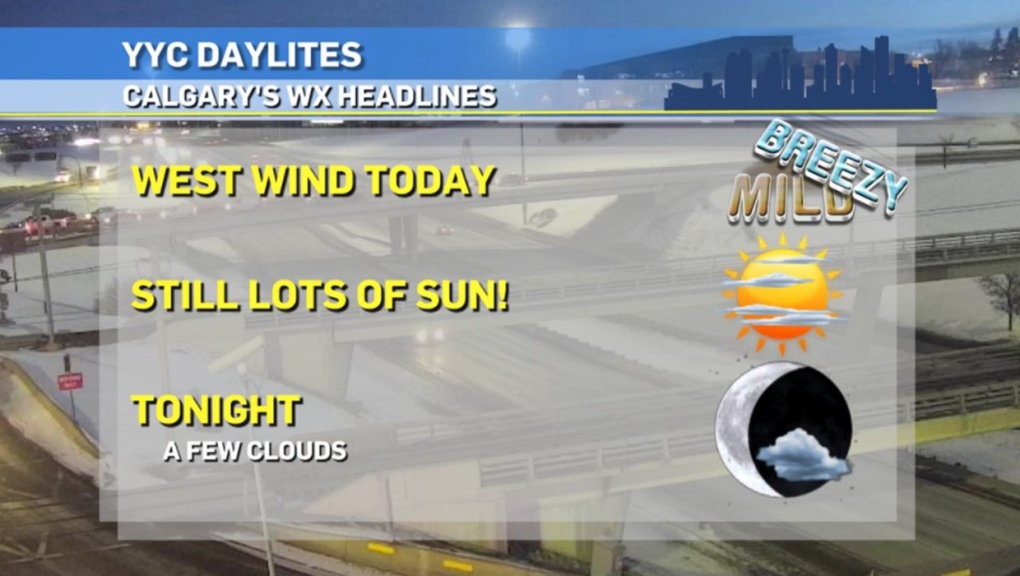
CALGARY -- Remember a week ago today, when the warmest moment in the day was -17.7 C?
Environment Canada now has this as we move through the coming weekend:
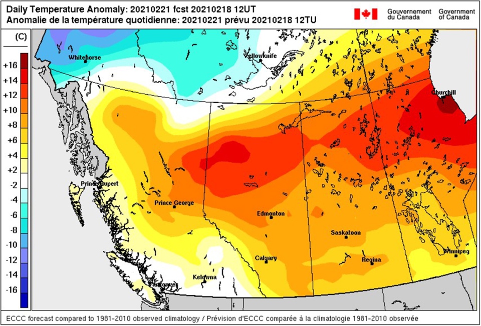
This places Calgary roughly 6 C to 7 C above normal, which checks out as we balance it against periods of warm, west wind cycling in our upper air pattern. And what a trend through the Peace Region!
The strength of this westerly wind may very well exceed model expectations, especially on a week where forecast models were already known to be cutting low. While this westerly wind may not yield a chinook arch across the Rockies, it should continue to billow in warmth consistently. Calgary's wind speed may peak at 50 km/h today, then drops to 20 km/h overnight before a return into the 30s tomorrow, all out of the west.
With overnight temperatures slated to drop off from the melt-weather we're experiencing, remember the perils of a freeze-thaw cycle: your sidewalks will be slick, especially early in the day. You just might topple over while holding a bagful of diapers you're trying to put in the bins. Too oddly specific? Never you mind… Enjoy your weekend!
Here's the five-day forecast:
Today:
- Mainly sunny
- Daytime high: 4 C
- Evening: mainly clear, low -3 C
Saturday:
- Sunny
- Daytime high: 3 C
- Evening: mainly clear, low -4 C
Sunday:
- Partly cloudy
- Daytime high: 7 C
- Evening: mainly clear, low 1 C
Monday:
- Building cloud
- Daytime high: 5 C
- Evening: building flurries, low -4 C
Tuesday:
- Flurries with sparse sunny breaks
- Daytime high: 0 C
- Evening: mainly clear, low -9 C
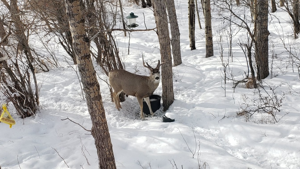
Photos today are of a buck in Bearspaw, taken by Wyn:
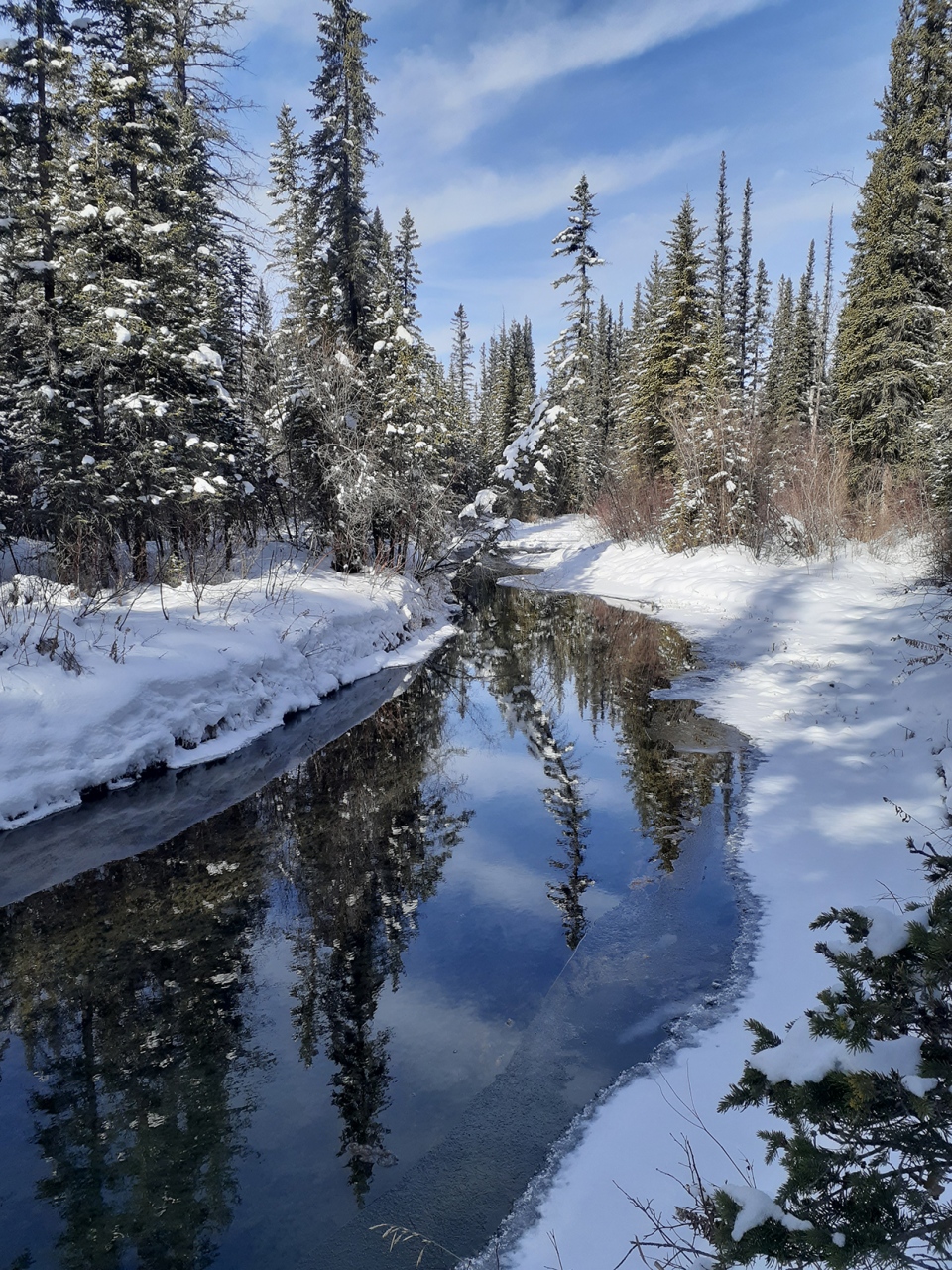
And Jacob's beauty of a shot in Griffith Woods Park!
You can submit your weather photos here, or email me here! Kevin Stanfield
