
CALGARY -- It's the return of westerly wind for us, and the usual implications follow. We enter a sustained lee trough setup, which pushes in 40 km/h gusts here today, and totals just shy of wind warning status further south, along with the prototypical chinook arch.
To key in on a single word from that last paragraph: "sustained."
Our pattern for the next five days looks reasonably set in, with limited interference and brief overnight low temperatures. The exception to the rule is from the low barreling into the B.C. coastline contributing to winter storm warnings in the B.C. interior (good for 20 to 30 centimetres of snow) – it will offer up a cold front. You'll notice the drop in our temperature through the forecast below, and that will likely mute our Friday high, somewhat – the time taken to temperature recovery means a cool pre-noon period.
And if that's the worst of the week, so be it. We're recovering nicely into the weekend with plenty of sun as a weak high-pressure area passes by for the weekend. Thereafter, the temperature is expected to drop again and stay down beyond the winter solstice.
Here's the five-day forecast:
Today:
- Partly cloudy, westerly gusts 40 km/h
- Daytime high: 3 C
- Evening: some cloud, westerly gusts 40 km/h , low -4 C
Wednesday:
- Mainly sunny
- Daytime high: 4 C
- Evening: some cloud, low –3 C
Thursday:
- Mostly cloudy
- Daytime high: 4 C
- Evening: cold front, northerly gusts, low -11 C
Friday:
- Partly cloudy
- Daytime high: 3 C
- Evening: some cloud, low -1 C
Saturday:
- Mainly sunny
- Daytime high: 6 C
- Evening: some cloud, low 2 C
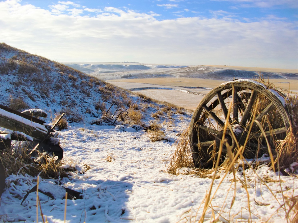
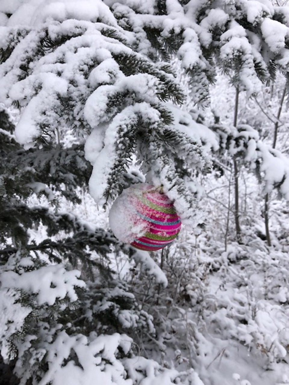
Our weather photos today are from Jacob, who caught the brilliance of winter, and Leslie, who stumbled upon a little touch of Christmas on her walk.
You can submit your weather photos here, or email them over to Kevin Stanfield


