CALGARY -- Much of Friday looks to be in reasonable shape, with some cloud in the mix and a few prolonged sunny breaks expected. Earlier in the day, we can expect the first sign of change afoot to come in the form of wind gusts around 30 km/h from a northerly tilt, and later this evening, close to sunset, we are in for some weak storm potential.
Thereafter, a 500 mb trough digs its way through, and a few periods of showers, at times heavy, will roll in. By the end of Sunday, a low end attempt to track incoming precipitation puts us to 20 mm; higher models suggest closer to 30 mm. Saturday and Sunday both offer thundershower potential in the afternoon, as well. Lastly, sunshine will be a little more difficult to come by; another brick in the “be sure to enjoy your Friday afternoon” wall.
Here’s the forecast:
Today:
- Partly cloudy
- Daytime high: 25°
- Wind: N 20g30 km/h
- Evening: building cloud into scattered showers with a storm risk, low 12°
Tomorrow:
- Rain, chance for afternoon storms
- Daytime high: 16°
- Evening: rain, low 9°
Sunday:
- Rain, chance for afternoon storms
- Daytime high: 15°
- Evening: rain, low 9°
Monday:
- Scattered showers, then partly cloudy
- Daytime high: 16°
- Evening: some cloud, low 11°
Tuesday:
- Late-day showers
- Daytime high: 17°
- Evening: rain, low 10°
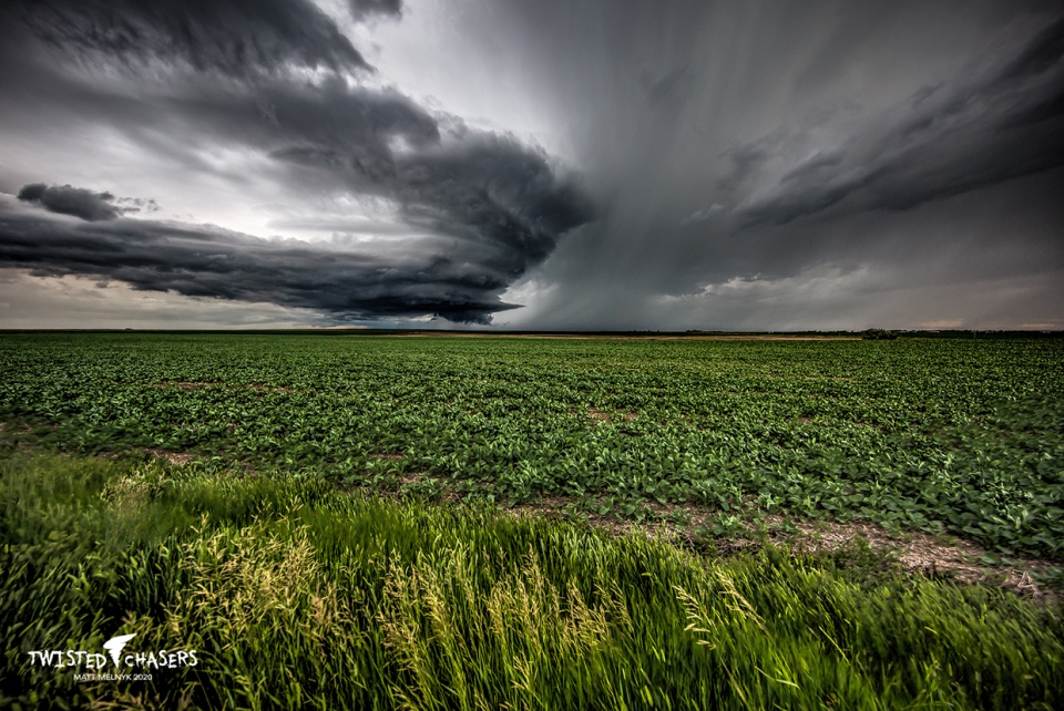
Today's photo of the day is a throwback (of sorts). Matt Melnyk of Twisted Chasers captured Wednesday night's thunderstorm southeast of Calgary.