
CALGARY -- A band of high pressure is pushing in this evening and right through tomorrow. Its arrival might trigger some light showers for our region, but that potential is just as remote as the storm potential Calgary had yesterday and the day before.
We’re looking into that high pressure triggering the warmest of our coming five days and, after its very brief passage, we’ll see a rather significant drop in temperature; that brings us below normal and leaves us hunkered around 15C. Aside from the cooler air and the trigger for wind, we’ll stay largely stabilized through this trough.
This means that dry weather will persist. Fire advisories, restrictions, and bans will continue until we see significant rainfall, which is looking unlikely as we approach the end of the month. August usually averages ~55 mm of rain in our city; so far, Calgary is at 13.0 mm.
Here’s the five-day forecast:
Today:
- Mainly sunny, slight chance for evening showers
- Daytime high: 20C
- Evening: mainly clear, low 8C
Friday:
- Sunny
- Daytime high: 24C
- Evening: showers possible, low 12C
Saturday:
- Partly cloudy
- Daytime high: 16C
- Evening: mainly clear, low 5C
Sunday:
- Partly cloudy
- Daytime high: 16C
- Evening: mainly clear, low 5C
Monday:
- Partly cloudy
- Daytime high: 14C
- Evening: mainly clear, low 7C
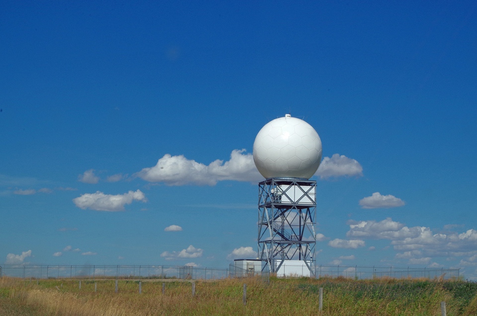
Marlene happened by the Strathmore weather station and sent along this great photo. Thank you for sharing it, Marlene!
You can submit your weather photos here.


