CALGARY -- We're rising fully into the high pressure zone today! Warm, southerly wind will dominate the forecast with gusts in the 40s, and temperatures rising back above 10 C for a few days. There is something to be said when the convective outlook for the western prairies can be quoted as saying "no major changes to this pattern are expected in the short to medium term," lending credence to discussions the other day that we'd be lingering above normal for a while.
Seasonal temperatures have jumped to 5 C, as well – so when I say "above normal," I mean "melting weather, and then some!"
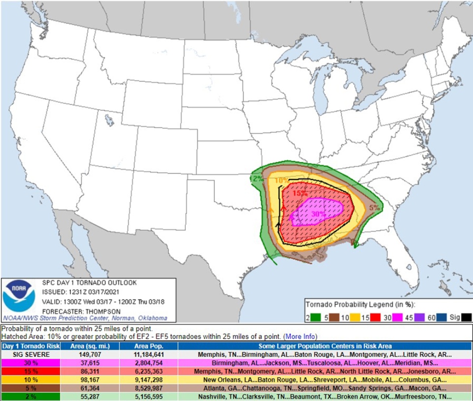
The convective outlook stateside is another matter entirely. This afternoon and evening, portions of Mississippi, Arkansas and Tennessee could face a tornado outbreak with multiple tornadoes, baseball-sized hail and hurricane force wind. The cross-hatched zone below is the are with the strongest chance of tornadoes.

Your five-day forecast
Today:
- Mainly sunny
- Daytime high: 12 C
- Evening: mainly clear, low -1 C
Thursday:
- Sunny
- Daytime high: 14 C
- Evening: mainly clear, low 4 C
Friday:
- Sunny
- Daytime high: 13 C
- Evening: mainly clear, low -3 C
Saturday:
- Mainly sunny
- Daytime high: 9 C
- Evening: mainly clear, low -1 C
Sunday:
- Mainly sunny
- Daytime high: 9 C
- Evening: mainly clear, low -1 C
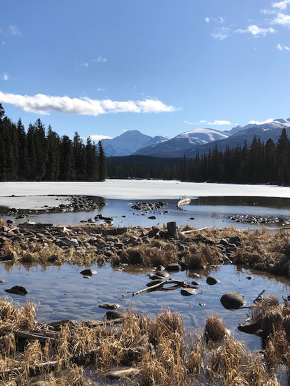
The photo of the day was taken by David, who calls this one "Jasper Thaw!"

You can submit your weather photos here, or email me: Kevin Stanfield


