Severe storms possible Thursday for Calgary
AFTERNOON UPDATE: Well, this cloud sure did stick it out! Calgray runs a storm risk through 5-7 p.m., but otherwise we're keeping that activity off to the south.
Thursday's activity remains of note and interest. A trough is forming and driving up toward southern Alberta, which will be the progenitor for widespread storms, many of which could be severe. Hail is the main threat, and in some places, it may be considered a significant event (greater than two cm in diameter). Funnel clouds are also possible in some areas once this spins up. This will be a line from extreme southwestern Alberta across K-Country.
Because this trough spins up over the course of the day, it creates the same-old challenge with activity crossing the Rockies; when do we see the worst of it? A few models show this striking up early in the afternoon, but the majority have settled with dinner hour storms.
3:36 P.M. Update... Environment Canada has submitted this updated convective outlook.... including the note of tornado potential in a corridor from Edmonton right to the border along Highway 2. I noted earlier a "greater than two cm" hail diameter, and EnvCan has adjusted with three to six cm hail.
Six centimetres is slightly larger than a billiard ball!
MORNING EDITION: Yesterday's storms are something of a prelude for more inclement weather today. By the late afternoon, we could watch storms press by and, though many of these will be non-severe, there is plenty of runway for activity to mature further off the foothills. Most of today's inclement weather rolls south of Calgary, developing along the Highway 22 corridor and keeping an eastward trajectory.
Otherwise, Calgary looks at a similar start from Tuesday; sunny weather to kick the day off, with building cloud and then, that afternoon storm risk.
Tomorrow, too, is shaping to be a stormy one. Widespread thundershower development is already making the rounds, with a wind-up between mid-and-late afternoon. Severe potential will carry forward, with Calgary looking at moderate-to-high instability.
Friday maintains the course – warm, dry conditions will be an excellent lead-in for the Stampede Parade. I'm keeping an eye on Saturday now – while we're in great standing for stability now, there are signs of uneven footing… it's sunny for now, but that may change to thundershower potential for Saturday afternoon as we close in.
YOUR FIVE-DAY CALGARY FORECAST
Wednesday
- Evening: some cloud, shower risk, low 13 C
Thursday
- Partly cloudy, chance of P.M. thundershowers
- Daytime high: 25 C
- Evening: clear, low 15 C
Friday
- Sunny
- Daytime high: 27 C
- Evening: mainly clear, low 13 C
Saturday
- Sunny
- Daytime high: 25 C
- Evening: partly cloudy, low 12 C
Sunday
- Mainly sunny
- Daytime high: 22 C
- Evening: mainly clear, low 11 C
Monday
- Mainly sunny
- Daytime high: 22 C
- Evening: clear, low 12 C
Our weather pic of the day was sent by Tracy of a fogbow; it's also known as a white rainbow!
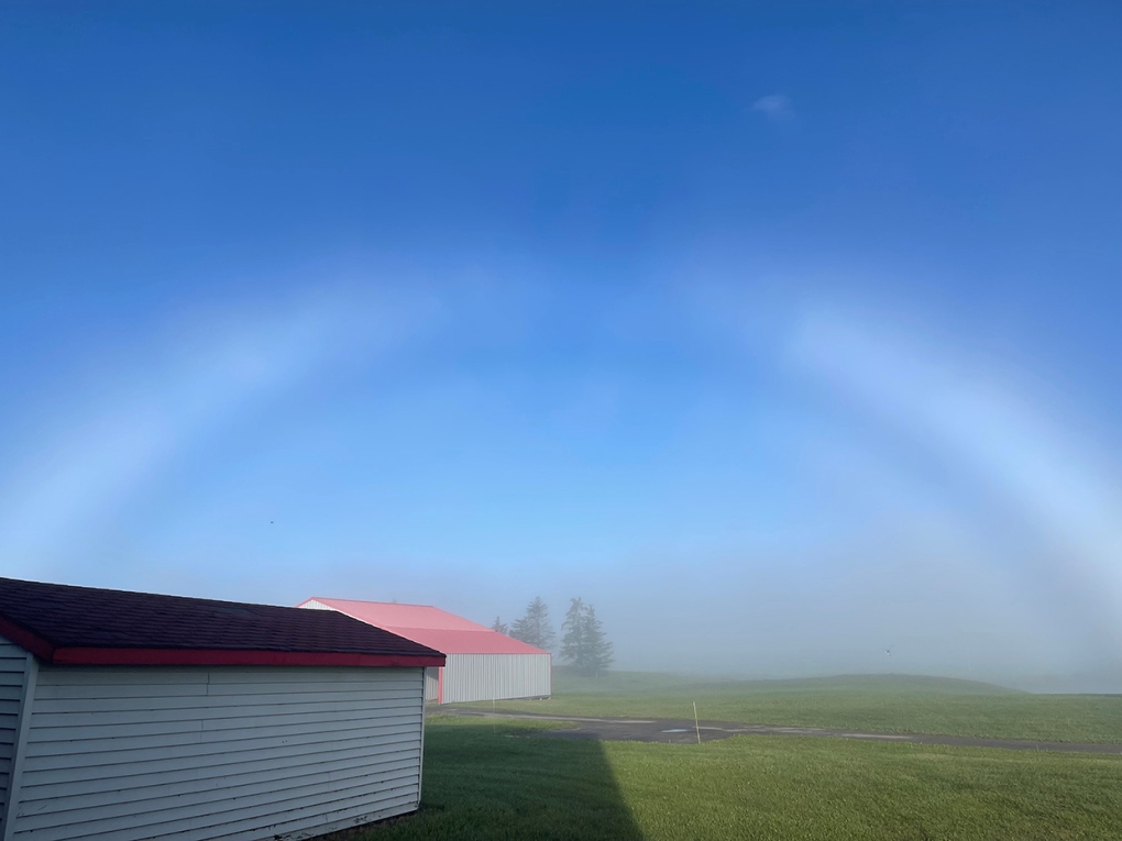 Viewer Tracy's photo of a fogbow.
Submit your weather photos here to see them featured in our article, and perhaps even as the pic of the day during our News at Six! You can also share my way on Twitter, or to our Instagram at @CTVCalgaryWeather.
CTVNews.ca Top Stories
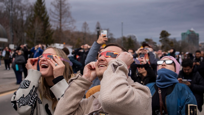
More than 115 cases of eye damage reported in Ontario after solar eclipse
More than 115 people who viewed the solar eclipse in Ontario earlier this month experienced eye damage after the event, according to eye doctors in the province.
Toxic testing standoff: Family leaves house over air quality
A Sherwood Park family says their new house is uninhabitable. The McNaughton's say they were forced to leave the house after living there for only a week because contaminants inside made it difficult to breathe.
Decoy bear used to catch man who illegally killed a grizzly, B.C. conservation officers say
A man has been handed a lengthy hunting ban and fined thousands of dollars for illegally killing a grizzly bear, B.C. conservation officers say.
B.C. seeks ban on public drug use, dialing back decriminalization
The B.C. NDP has asked the federal government to recriminalize public drug use, marking a major shift in the province's approach to addressing the deadly overdose crisis.
OPP responds to apparent video of officer supporting anti-Trudeau government protestors
The Ontario Provincial Police (OPP) says it's investigating an interaction between a uniformed officer and anti-Trudeau government protestors after a video circulated on social media.
An emergency slide falls off a Delta Air Lines plane, forcing pilots to return to JFK in New York
An emergency slide fell off a Delta Air Lines jetliner shortly after takeoff Friday from New York, and pilots who felt a vibration in the plane circled back to land safely at JFK Airport.
Sophie Gregoire Trudeau on navigating post-political life, co-parenting and freedom
Sophie Gregoire Trudeau says there is 'still so much love' between her and Prime Minister Justin Trudeau, as they navigate their post-separation relationship co-parenting their three children.
Last letters of pioneering climber who died on Everest reveal dark side of mountaineering
George Mallory is renowned for being one of the first British mountaineers to attempt to scale the dizzying heights of Mount Everest during the 1920s. Nearly a century later, newly digitized letters shed light on Mallory’s hopes and fears about ascending Everest.
Loud boom in Hamilton caused by propane tank, police say
A loud explosion was heard across Hamilton on Friday after a propane tank was accidentally destroyed and detonated at a local scrap metal yard, police say.


