
CALGARY -- We've pushed up our timeline a little, and it bodes very well for Calgary. The cold front that was expected to "wait" until late Wednesday to arrive will now swing through in the midday. Here's why that works well for us:
We won't have reached the previous expected high yet; this means it will be cooler when the cold front moves through.
Since both convective flurries and wind are largely bolstered by a heftier swap in temperature, we will see less of both
Yes, we'll be in (and remain in) the negatives tomorrow, but that's a fair price to elude heavier flurries and stronger wind gusts. Granted, we should still see a centimetre of snow, and 40+ km/h gusts, down from two to four centimetres of snow and 60 km/h gusts.
Call it a win.
As we move beyond, we'll find our way into the double-digits for the weekend into a chinook wind!
The five-day:
Today:
- Mainly sunny
- Daytime high: 5 C
- Evening: mostly clear, low -7 C
Tomorrow:
- Mainly sunny, cold front! ~1 cm snow, blustery wind
- Daytime high: -4 C
- Evening: flurries, low -12 C
Thursday:
- Clearing flurries, then mainly sunny
- Daytime high: 4 C
- Evening: mainly clear, low -4 C
Friday:
- Mainly sunny
- Daytime high: 9 C
- Evening: mainly clear, low 0 C
Saturday:
- Partly cloudy
- Daytime high: 11 C
- Evening: mainly clear, low 1 C
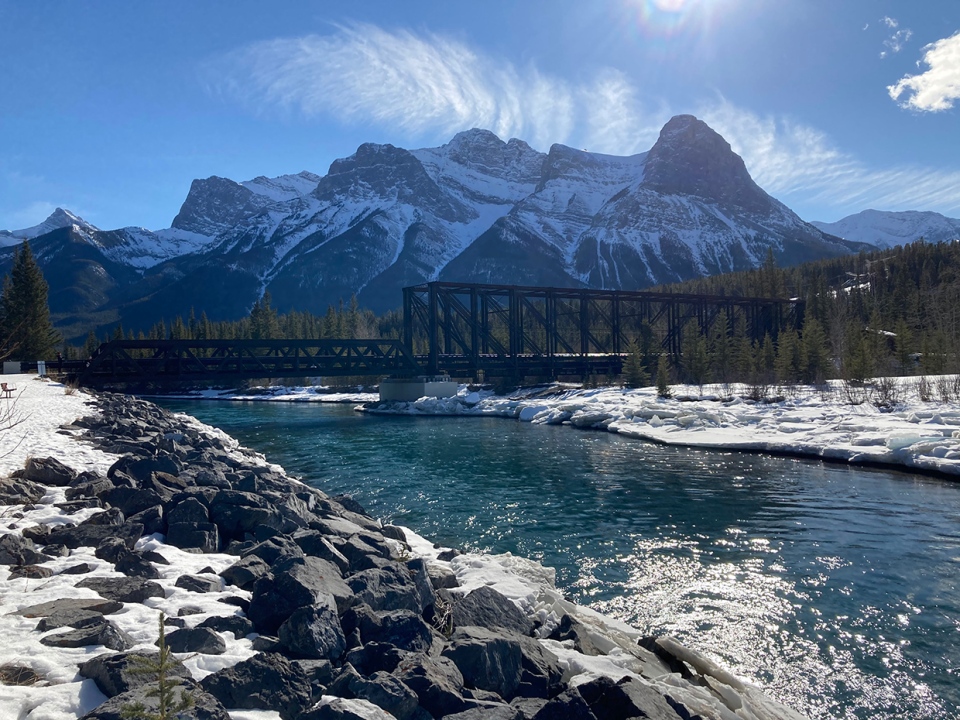
Our photos today are from Miriam enjoying the day in Canmore, and Natasha catching the sunset in Bowness!

You can submit your weather photos here, or email me: Kevin Stanfield


