CALGARY -- Calgary will persist just beneath a ridge for today ahead of the arrival of a return to seasonal temperatures.
First, today. The majority of the smoke that marred the day yesterday is, frankly, gone already, scattered to the wind. Our air quality health index was predicted to stay at a 3 (low risk) by Environment Canada. They nailed it. The smoke stayed aloft, never presenting firmly at the surface. It made the day quite a bit cooler than projected, but otherwise was a non-factor.
Far to the north, a very large low is stringing a cold front along, which will drop storms and showers through northern Alberta and central Alberta, respectively. Overnight tonight, make sure the shutters are tied off, as Calgary could get some solid nocturnal gusts. Tomorrow morning will feel like a far cry from this afternoon, as the cold front will leave in its wake those seasonals I mentioned out of the gate.
But wait, there's more!
A shortwave trough is going to trigger showers through southwestern Alberta. Calgary will be on the periphery of these, but we're still looking to see a measurable amount. This rain will develop late Friday/early Saturday and persist as off-and-on showers Sunday.
Enjoy today – it's mightily above-seasonal! In somewhat-related news to that, here's Jordan Kanygin's story on how this was the warmest meteorological summer on record by mean temperature.
YOUR FIVE DAY FORECAST
Today:
- Mainly sunny
- Daytime high: 25 C
- Evening: cold front! 40-50 km/h gusts of wind, low 10 C
Friday:
- Partly cloudy
- Daytime high: 19 C
- Evening: clear, low 11 C
Saturday:
- Showers
- Daytime high: 14 C
- Evening: some cloud, low 9 C
Sunday:
- Scattered showers
- Daytime high: 17 C
- Evening: some cloud, low 7 C
Monday:
- Sunny
- Daytime high: 17 C
- Evening: clear, low 6 C
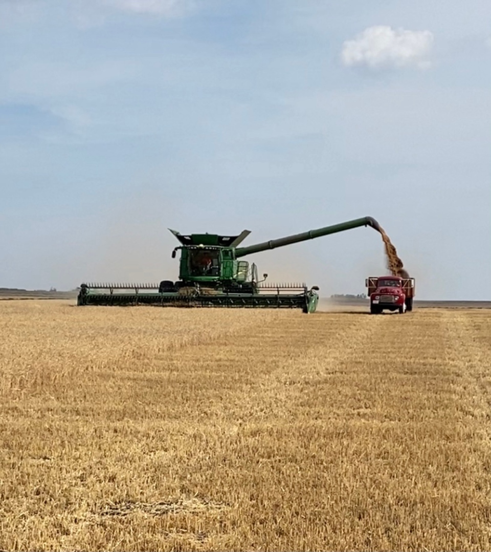
Viv sent us a really cool photo of a 1948 Ford F-155 helping with the harvest outside of Acme!
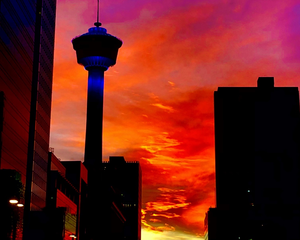
Next, Chris caught the sunset downtown yesterday:
You can submit your photos here, email me directly here, or tweet them over!


