CALGARY -- After a lovely high-pressure weekend, we start to transition out later today. Wind will strike out of the southeast today, gusting toward 40 km/h and pressing in cooler conditions in the process. The upper ridge above will blow away today, replaced by an upper trough. The curtain of warmth we've been behind for days will go away with it.
The trough is expected to pull some moisture along, too – tomorrow, the weak disturbance it causes may play culprit for thundershowers in our area. Pacific moisture attached to this low will run its course by Wednesday, leaving us instead with benign cloud and cooler temperatures to close the week.
This airflow pattern, as I described last week, is meridional flow; it's a pattern of small-to-moderate troughs and ridges in alternating cycles, which will trigger three-to-four-day cycles of cooler temperatures (often with showers out of the gate, a la Tuesday and Wednesday), followed by a similar length in seasonal and above-seasonal conditions.
YOUR FIVE-DAY FORECAST:
Today:
- Windy – 20 km/h, gusting to 40 km/h, mainly sunny building to partly cloudy
- Daytime high: 24 C
- Evening: some cloud, low 10 C
Tuesday:
- Showers, storm risk, some sun still!
- Daytime high: 17 C
- Evening: mainly cloudy, low 6 C
Wednesday:
- Scattered showers
- Daytime high: 16 C
- Evening: chance of showers, low 7 C
Thursday:
- Partly cloudy
- Daytime high: 17 C
- Evening: some cloud, low 5 C
Friday:
- Partly cloudy
- Daytime high: 16 C
- Evening: clear, low 6 C
Photo time!
A couple of great ones from the sunrise this morning:
Thanks for this one, JD. He knows where to find me, like clockwork on a beautiful sunrise!
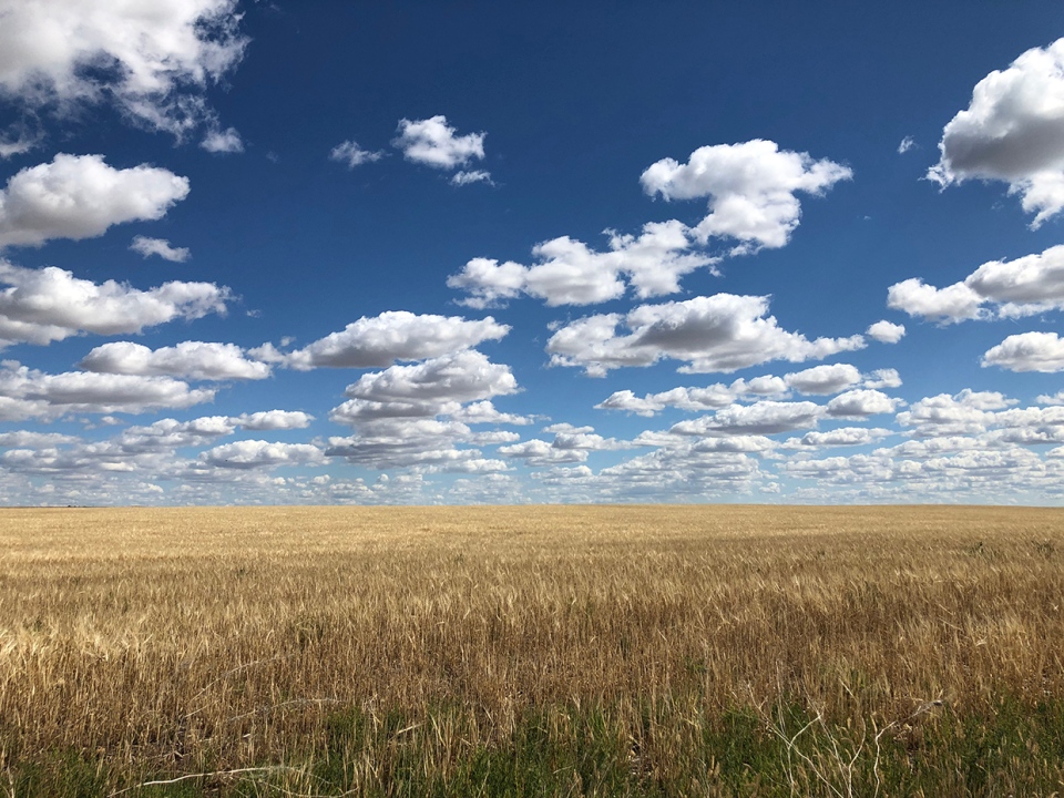
Lastly, one from the weekend, as Mark caught this lovely photo.

Thanks, all! You can submit your photos here, email me directly here, or tweet them over!


