CALGARY -- A short-wave trough is sloping across Oregon and Washington, and bringing with it the full gamut of forecast conditions.
We'll start with the rain; this is not a warning-level event, but some spots should see totals push to 15 to 20 millimetres. Calgary aligns more with six to 12 mm, being on the northern periphery.
Low-pressure regions have that annoying tendency to gather as much air as they can around themselves, then shove that along. While this triggers a rainfall event, it'll also collect smoke from the Oregon wildfires and drive it straight at us.
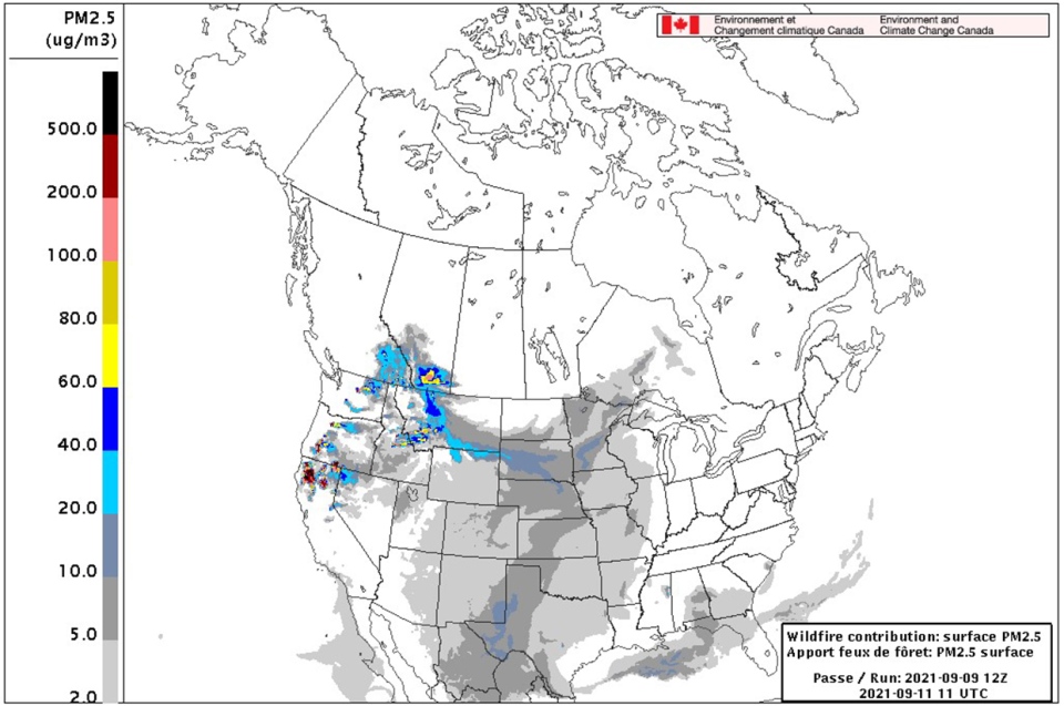
The Firework imagery puts advisory-level conditions into southern Alberta – not quite as far north as Calgary, mind you. At the same time, those rainshowers will act to both wash some of that smoke layer away, as raindrops absorb smoke particles in transit to the ground. Further, our olfactory nerves (sense of smell) is enhanced in humid conditions, so the smoky smell might be potent in parts of our province, too.
By Sunday, this second wave of smoke does the same that our first did earlier this week; it migrates away, leaving only residual content in our area.
For next week, the next warm-up begins.
YOUR FIVE-DAY FORECAST
Today:
- Mainly sunny, late increasing cloud
- Daytime high: 19 C
- Evening: rain, low 11 C
Saturday:
- Showers
- Daytime high: 14 C
- Evening: scattered showers, low 10 C
Sunday:
- Scattered showers
- Daytime high: 17 C
- Evening: some cloud, low 6 C
Monday:
- Mainly sunny
- Daytime high: 18 C
- Evening: mainly clear, low 6 C
Tuesday:
- Partly cloud
- Daytime high: 21 C
- Evening: some cloud, low 7 C
How do I pick between these awesome shots Wendy took for the photo of the day?
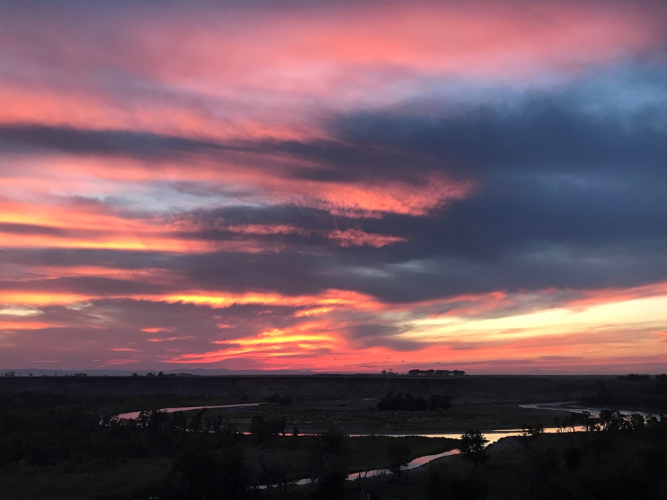
Then, Melissa in Fort Macleod also crushes that sunset!
You can submit your photos here, email me directly here, or tweet them over!